Indexing and selecting data#
GeoPandas inherits the standard pandas methods for indexing/selecting data. This includes label based indexing with loc and integer position based indexing with iloc, which apply to both GeoSeries and GeoDataFrame objects. For more information on indexing/selecting, see the pandas documentation.
In addition to the standard pandas methods, GeoPandas also provides
coordinate based indexing with the cx indexer, which slices using a bounding
box. Geometries in the GeoSeries or GeoDataFrame that intersect the
bounding box will be returned.
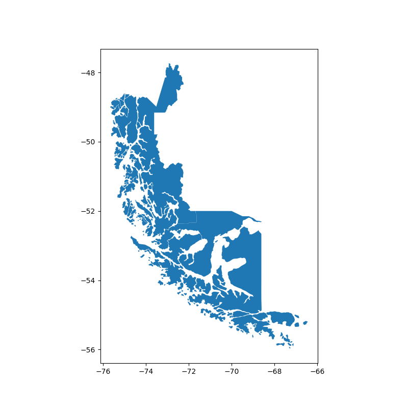
Using the geoda.chile_labor dataset, you can use this functionality to quickly select parts
of Chile whose boundaries extend south of the -50 degrees latitude. You can first check the original GeoDataFrame.
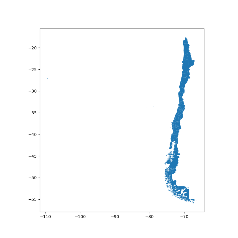
In [1]: import geodatasets

In [2]: chile = geopandas.read_file(geodatasets.get_path('geoda.chile_labor'))

In [3]: chile.plot(figsize=(8, 8));
And then select only the southern part of the country.
In [4]: southern_chile = chile.cx[:, :-50]

In [5]: southern_chile.plot(figsize=(8, 8));